
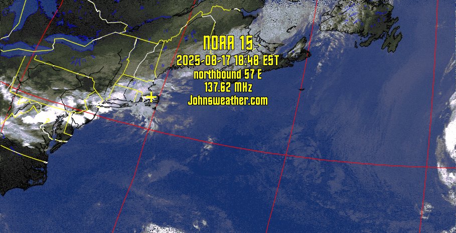
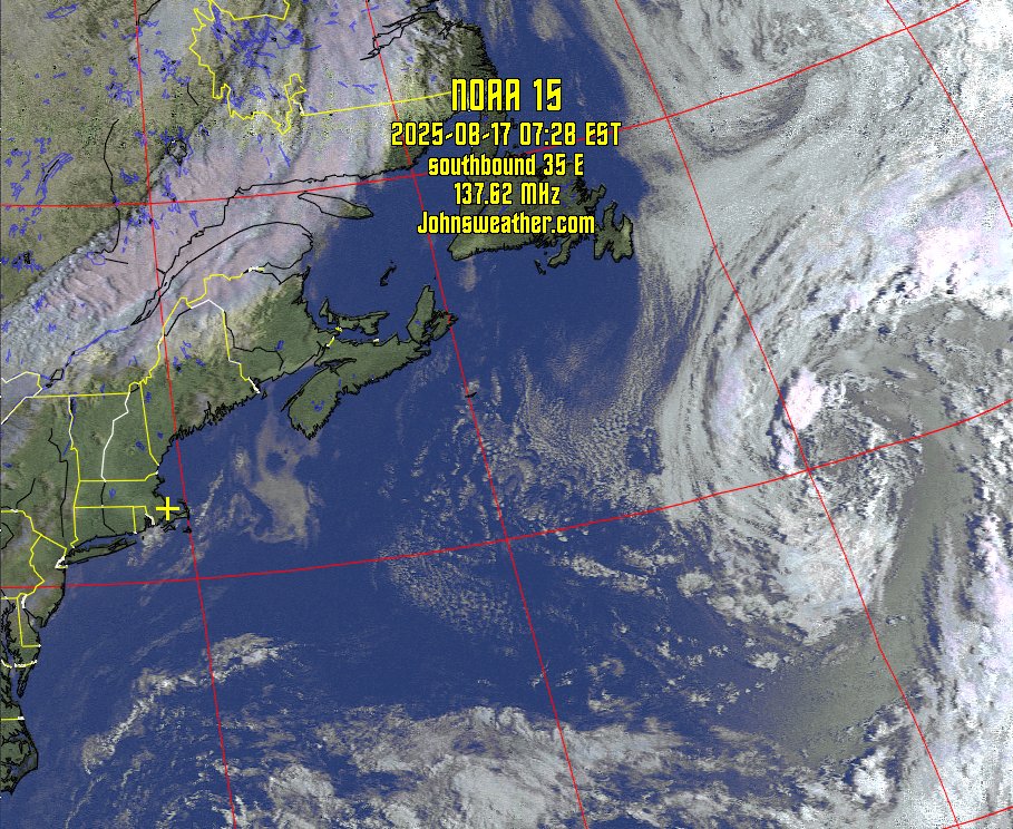
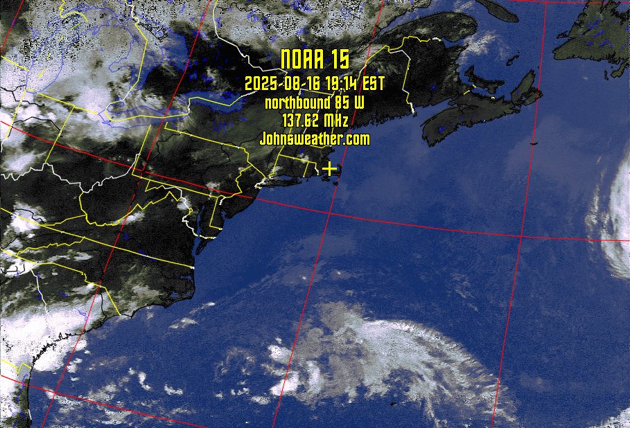
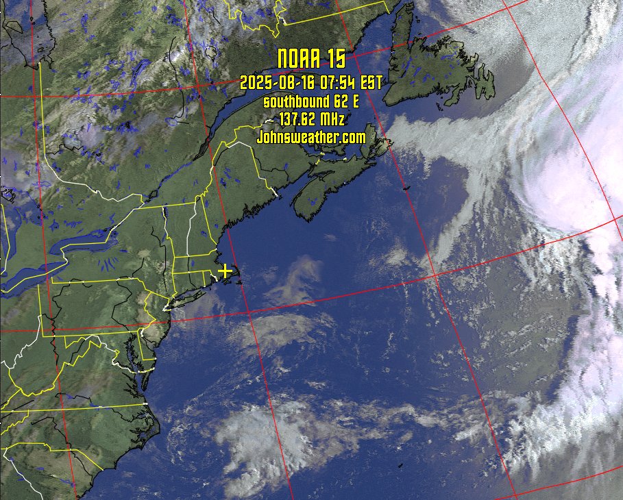
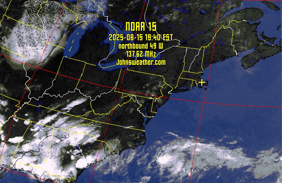
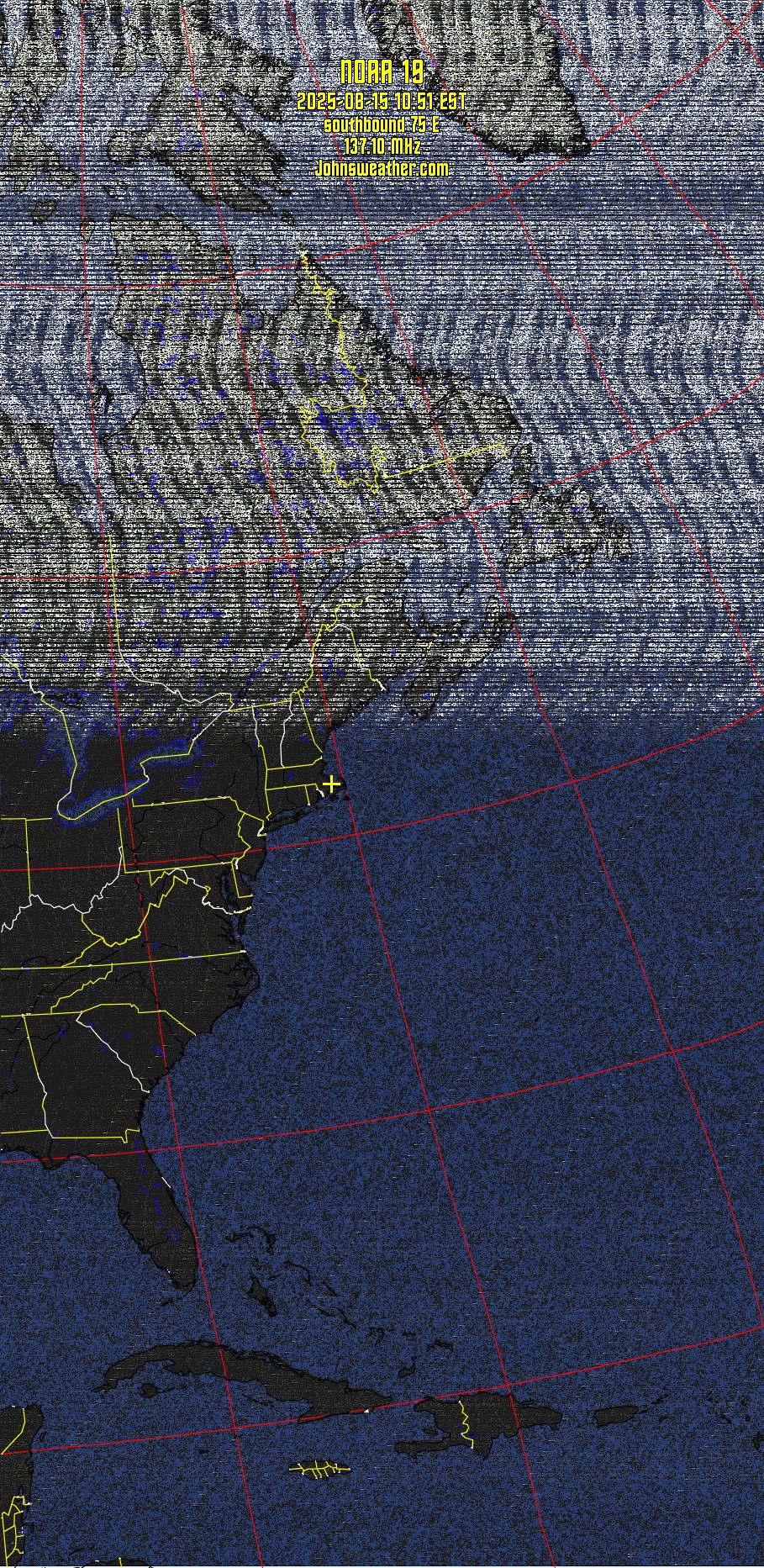
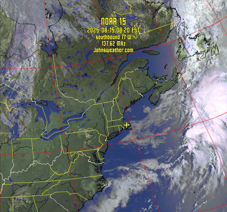
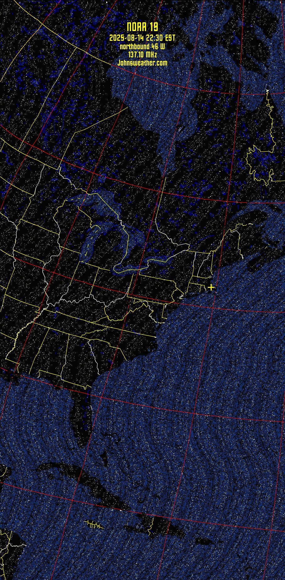
NOAA Weather satellite images recorded at Plymouth, MA., USA.
These satellite images were produced using WXtoImg software.
Click on any image below for a full sized image. Times are shown in Eastern Daylight Time.
| Satellite | Start of Pass | Maximum Elevation | Frequency |
| Name | Eastern Standard Time | Degrees (East or West) | MHz |
| NOAA 15 northbound |
19 August 07:35:58 PM | 54° W | 137.62 |
| NOAA 15 southbound | 20 August 07:49:56 AM | 56° E | 137.62 |
| NOAA 15 northbound | 20 August 07:09:44 PM | 88° E | 137.62 |
| NOAA 15 southbound | 21 August 07:23:59 AM | 32° E | 137.62 |
| NOAA 15 southbound | 21 August 09:03:45 AM | 32° W | 137.62 |
| NOAA 15 northbound | 21 August 06:43:49 PM | 51° E | 137.62 |
| NOAA 15 southbound | 22 August 08:37:26 AM | 54° W | 137.62 |
| NOAA 15 northbound | 22 August 06:18:13 PM | 31° E | 137.62 |
| NOAA 15 northbound | 22 August 07:57:39 PM | 34° E | 137.62 |
| NOAA 15 southbound | 23 August 08:11:15 AM | 88° E | 137.62 |
| NOAA 15 northbound | 23 August 07:31:08 PM | 60° E | 137.62 |
| NOAA 15 southbound | 24 August 07:45:10 AM | 51° E | 137.62 |